
Navigating the Future: Top 5 Mobility and Transportation Trends Shaped by Real-Time Mapping

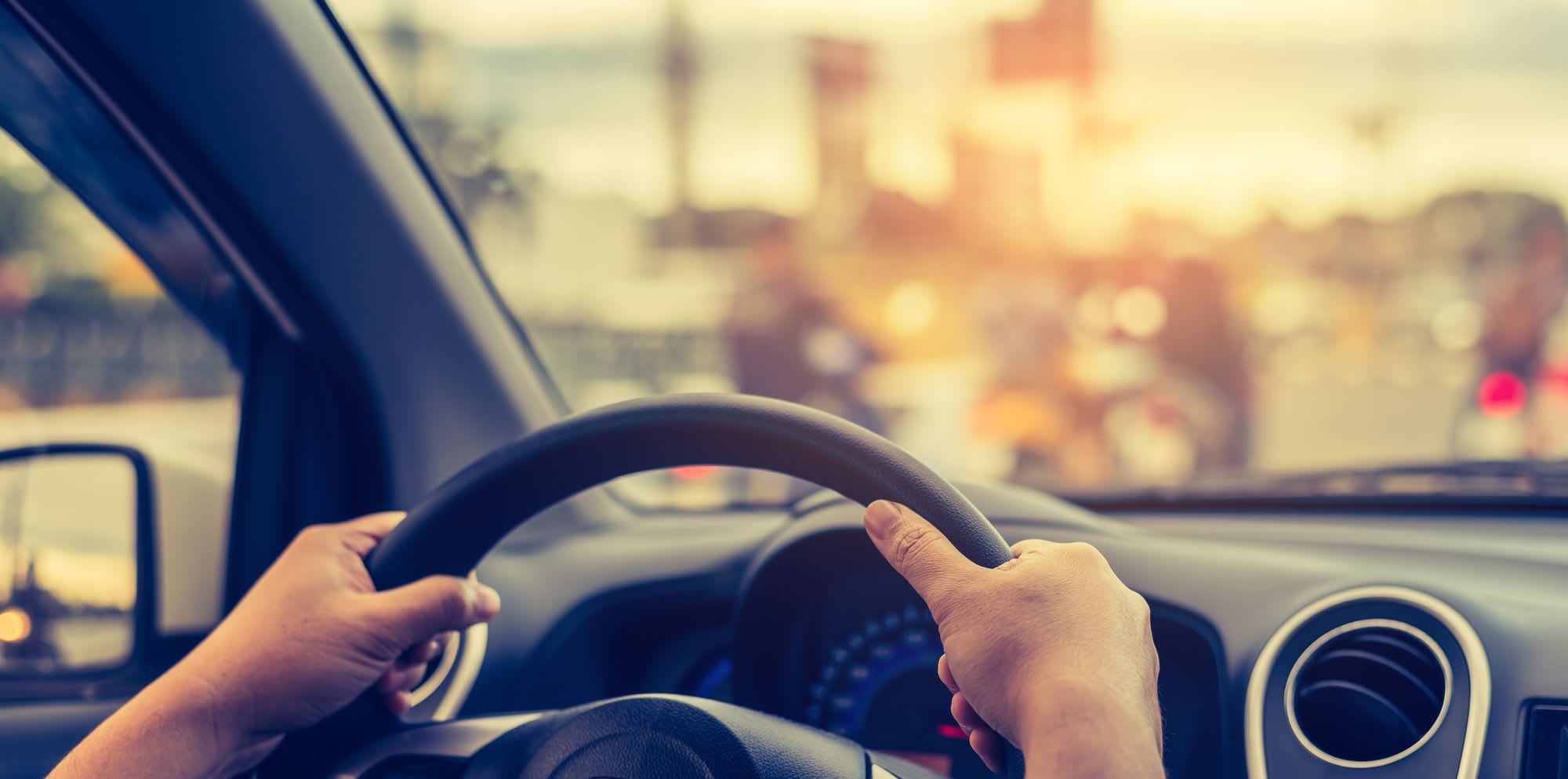
Picture this: you're on the cusp of a journey. Maybe you're heading home from a long day at work or perhaps you're embarking on a cross-country road trip. Your vehicle is equipped with a real-time mapping layer. The future of transportation is quite literally at your fingertips.
Let's dive into the top five game-changing trends in mobility and transportation that are being shaped by this innovative technology.
1.Unleashing the Potential of Autonomous Vehicles
Real-time mapping is the co-pilot to the autonomous vehicle revolution. It’s the tech whispering in the ‘ears’ of self-driving cars, providing them with detailed, up-to-date maps that enhance safety and boost efficiency. With this technology, we're not just talking about a few autonomous cars on the road. It will significantly impact the deployment of self-driving cars and their integration into our transportation systems.
We're envisioning an entire ecosystem of self-driving vehicles, traveling smoothly through our transportation systems, knowing what to do in case of work zones, changes in traffic signs, or other traffic obstacles. For everyday human drivers, this means safer and less congested roads. The world of autonomous vehicles is expanding, and real-time mapping is driving that journey.
2. Transforming Traffic Management:
Imagine a city where traffic just... flows. No more rush hour gridlock, no more wasting time in traffic. That's the promise of real-time mapping. Cities and municipalities can harness this data to monitor and manage traffic flow in real-time, reducing congestion and enhancing transportation efficiency. Cities and municipalities can keep their roads, drivers, and pedestrians safe by constantly monitoring the state of all work zones from a computer, providing knowledge about when and where work is happening. This transformative approach to traffic management not only reduces congestion but also enhances overall transportation efficiency for drivers traveling long or short distances. By utilizing real-time mapping data to its fullest, we can achieve dynamic traffic light control, predictive traffic analysis, and optimized routing, leading to reduced travel times and emissions.
3. Personalizing Mobility Services
Real-time mapping is the secret ingredient in the recipe for user-centric mobility services. Imagine having real-time updates for public transit at your fingertips, or optimized routing for your on-demand ride-sharing service. It allows for instant reactions to varying speed limits, work zone detection, and parking availability. Going forward, it will enable vehicles to be more aware of their surroundings. This enhances both their driving capabilities and their ability to adapt to current road conditions, using a wide range of urban and highway use cases. Drivers will be able to make informed decisions about travel plans - creating a more seamless, efficient mobility experience, tailored to their needs.
4. Optimizing Infrastructure Planning and Maintenance
Real-time mapping data is a goldmine for cities looking to optimize their infrastructure planning and maintenance. Ground-level images of work zones and changes such as the appearance and removal of construction zones, lane blockages, and other elements are detected by Nexar’s crowdsourced vision network. This allows for remote monitoring and management of assets and streets, enhancing safety, control, and efficiency. This technology enables cities to identify areas that require improvements or repairs strategically, leading to smarter investments and maximized returns. It even ensures that construction zones are operating according to permits, and provides you with accurate information on the timing and location of ongoing construction work. This helps create a seamless flow of traffic, preventing any disruptions or interruptions while you’re on a cross-country trip or on your way to a meeting. It's like having a crystal ball for urban planning, providing a clearer picture of when and where our transportation infrastructure needs to go.
5. Enhancing Safety and Security
At the end of the day, it all boils down to safety. Real-time mapping works around the clock to provide accurate, up-to-the-minute information on road conditions, traffic, and potential hazards. This is done by leveraging real time data, vision-based AI and deep learning to make roads safer for drivers and communities.
The future of transportation is here, and it's being paved by real-time mapping. Whether you’re heading home from a long day at work, or embarking on a cross-country road trip, it's not just about getting from point A to point B anymore. It's about creating a safer, greener, and more efficient transportation ecosystem that enhances our everyday lives. The road ahead is indeed promising.
If you are interested in discovering more about real-time mapping with CityStream Live, download this whitepaper or see it for yourself at this link.