How AI is Transforming Navigation Maps - and the World

How AI is Transforming Navigation Maps - and the World

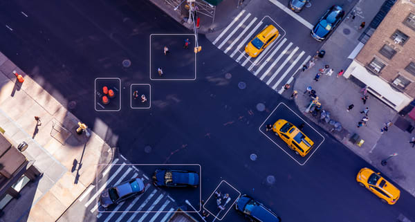
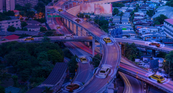
Nexar’s Algorithm Data Analyst, Raphael Mamane, explains how the company is paving the way for the future of digital maps - and revolutionizing the world as we know it In the era of automation and efficiency we are approaching,  traditional maps are no longer sufficient. As maps move from

AI
Ludovico Fassati Joins Nexar as its SVP America and President B2B America

Ludovico Fassati Joins Nexar as its SVP America and President B2B America

Nexar, a leading AI vision company, announced today that it has appointed Ludovico Fassati as its  SVP America and President B2B America. Fassati will manage Nexar’s business in the US, focusing on Nexar’s insurance, fleet and public sector offering, as well as real-time mapping. Fassati joins Nexar from

Why MGAs Can’t Afford to Miss Out on Video Telematics

Why MGAs Can’t Afford to Miss Out on Video Telematics

With an overwhelming escalation in insurance costs, collisions, and nuclear verdicts, MGAs are seeking smarter, more sophisticated ways to resolve claims. We at Nexar are constantly looking for new ways to provide solutions to MGAs looking to improve their loss ratio. In this tech-driven world, video telematics can be game-changing.

Real-Time Mapping: A glossary of  top 100+ terms and acronyms (Pt. 2)

Real-Time Mapping: A glossary of top 100+ terms and acronyms (Pt. 2)

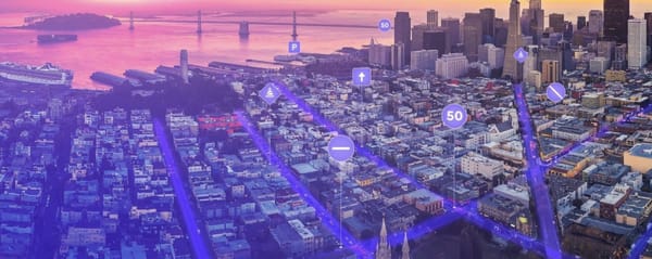
This glossary offers over 100 definitions for common terms in the context of real-time mapping. As a guiding principle, we opted to include generally accepted definitions as well as to explain (whenever appropriate) how  each entry applies to the key concepts in real-time mapping. Part one can be found here

An Autonomous Map for the Autonomous Era

An Autonomous Map for the Autonomous Era

Today we published a report comparing the ground truth speed limit signs in Phoenix, AZ, with OSM and City of Phoenix data. The bottom line is that maps become stale at a rate of 2.5-6% per year and that we need to change how we think about map creation,

Cover Whale and Nexar Announce Driver Safety Program for Truck Drivers

Cover Whale and Nexar Announce Driver Safety Program for Truck Drivers

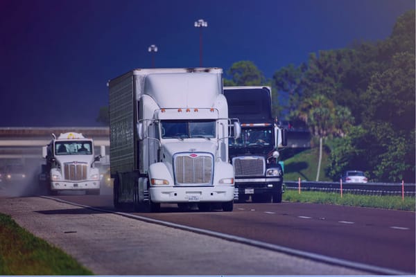
Nexar announces partnership with CoverWhale to enhance its innovative Driver Safety Program, further improving safety and lower insurance premiums. The trucking industry encounters an avalanche of safety risks. This is why we are so excited to announce our recent partnership with Cover Whale. Cover Whale Insurance Solutions Inc. is a

Real-Time Mapping: A glossary of  top 100+ terms and acronyms (Pt. 1)

Real-Time Mapping: A glossary of top 100+ terms and acronyms (Pt. 1)

This glossary offers over 100 definitions for common terms in the context of real-time mapping. As a guiding principle, we opted to include generally accepted definitions as well as to explain (whenever appropriate) how  each entry applies to the key concepts in real-time mapping. A Advanced Driver Assistance Systems (ADAS)

Maps vs. Ground Truth in Phoenix, AZ: Ready for Autonomous Driving?

Maps vs. Ground Truth in Phoenix, AZ: Ready for Autonomous Driving?

Comparing Nexar's Phoenix, AZ ground truth data with both City of Phoenix and OpenStreetMap (OSM) limit data shows that maps become stale. This post details the findings of our analysis for Phoenix, AZ speed limit signs. You can also read why this means we need to think about