
How AI is Transforming Navigation Maps - and the World

Nexar’s Algorithm Data Analyst, Raphael Mamane, explains how the company is paving the way for the future of digital maps - and revolutionizing the world as we know it
In the era of automation and efficiency we are approaching, traditional maps are no longer sufficient. As maps move from being a mere convenience to becoming the cornerstone of ADAS and Autonomous Vehicles, they are required to up-level in terms of precision, freshness, and completeness.
Maps are also becoming increasingly crucial for fleets, which can face immense losses because of inefficient route planning. As a result, the core business process of map creation needs to be overhauled to better reflect what’s actually happening on our roads - the ground truth.
Standard navigation platforms are not up to date
The mapping infrastructure behind popular platforms such as Google Maps and Open Street Maps (OSM) often provides antiquated data from 3-5 years ago. It has not been possible for the data to refresh regularly and in most cases - information is non-existent.
Whilst humans do not refer to detail such as speed limits on a map while driving, software does. Therefore, the question of how much change happens on maps, and who uses it (software) has become increasingly relevant as we look at maps through a present-day lens - considering the importance of their accuracy. Nexar’s extensive network of AI-powered dash cams was used to curate a data set of 3,562 max speed limits in Phoenix, AZ. This study focused on five-speed limit signs - 30, 35, 40, 45, and 50 Mph.
47% of Nexar’s detections of speed limits did not exist at all on OSM. 47% of detections indicated discrepancies in OSM, and 6% showed a different road segment speed limit than that stated in OSM (due to change, or error). A total of 98 discrepancies were found by Nexar, largely due to outdated information. Similarly in Bucharest, Nexar was able to identify over 10,000 traffic signs. A wide array of signs including turn restrictions, No Entry, and stop signs were again detected solely by Nexar, with less than 1% of Nexar-identified stop signs found in OSM.
Nexar’s cutting-edge technology is revolutionizing the world as we know it
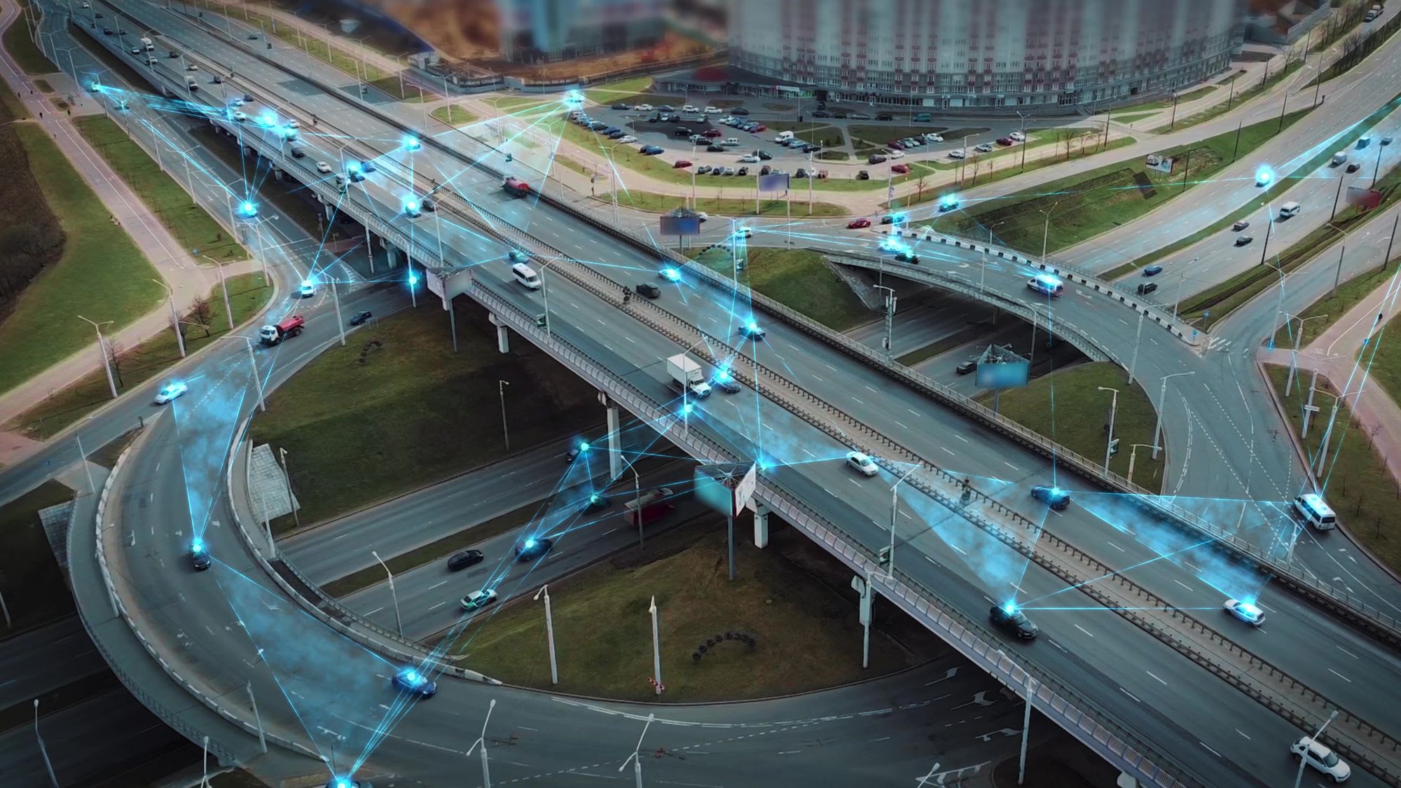
Nexar’s network of smart dash cams is being used to collect data at scale, using millions of low-cost vehicles on cars around the world. This near real-time data is fresh enough to capture temporary road signs - even those held up by a highway employee to signal road closure. Using AI (on-device and on the cloud), detections of road elements are made, and this detection data is aggregated and localized, providing a real-time layer of transient (e.g. work zones) or static road elements on top of an existing map.
Thanks to Nexar’s innovative technology, traffic signs can, for the first time, be identified with profound precision and exactness - saving time and money for organizations. DOJs and municipalities, for example, will no longer need to deploy surveyors every few months, and fleets will be able to calculate the shortest, most efficient routes - saving on costs. This groundbreaking technology is introducing a new way the world can run.
The immediacy of detections is what determines the accuracy of maps, hence why Nexar’s near real-time data is always fresh and up-to-date. When acquiring data, Nexar opts for automation over a manual approach - aiming for maximum efficiency and accuracy.
Enhancing standard navigation platforms
Nexar’s goal is not to replace, but to further enhance navigation platforms such as OSM, offering an additional layer of valuable context. Grounded in visual evidence, Nexar provides the missing data, validations, and verifications in a near real-time manner - offering the utmost precision.
All levels of maps are necessary - from the traditional “Base Map”, to “Lane Semantics” offered by platforms such as OSM and Google Maps and “Road Furniture” that adds a layer of detail to navigation by including road signs and traffic lines. Today, Nexar has introduced Dynamic Location-Based Services - a new way to look at developing a more robust, up-to-date driving experience. At this level, we possess the ability to show real-time road works, accidents ahead, road defects and broken down / stationary vehicles.
Nexar’s ground-breaking technology is, with precision, paving the way for the future of digital maps - introducing a truly revolutionary approach to the world. For a more efficient future, maps must begin to reflect change so they can stay accurate, showing everything on the road from work zones to lane markings and road signs such as speed limits.