
CityStream Live’s Real-Time Mapping Platform has Kickstarted a Revolution - Here’s Why

Software is eating the roads. This might seem like a grand statement, but in the 7 years since I co-founded Nexar with Bruno Fernandez-Ruiz, it has also become glaringly apparent. In practice, this means that vehicles are becoming increasingly software-centric - prioritizing the consumer demand and experience. The implications are a concern for the entire automotive landscape - from OEMs and AVs to fleets.
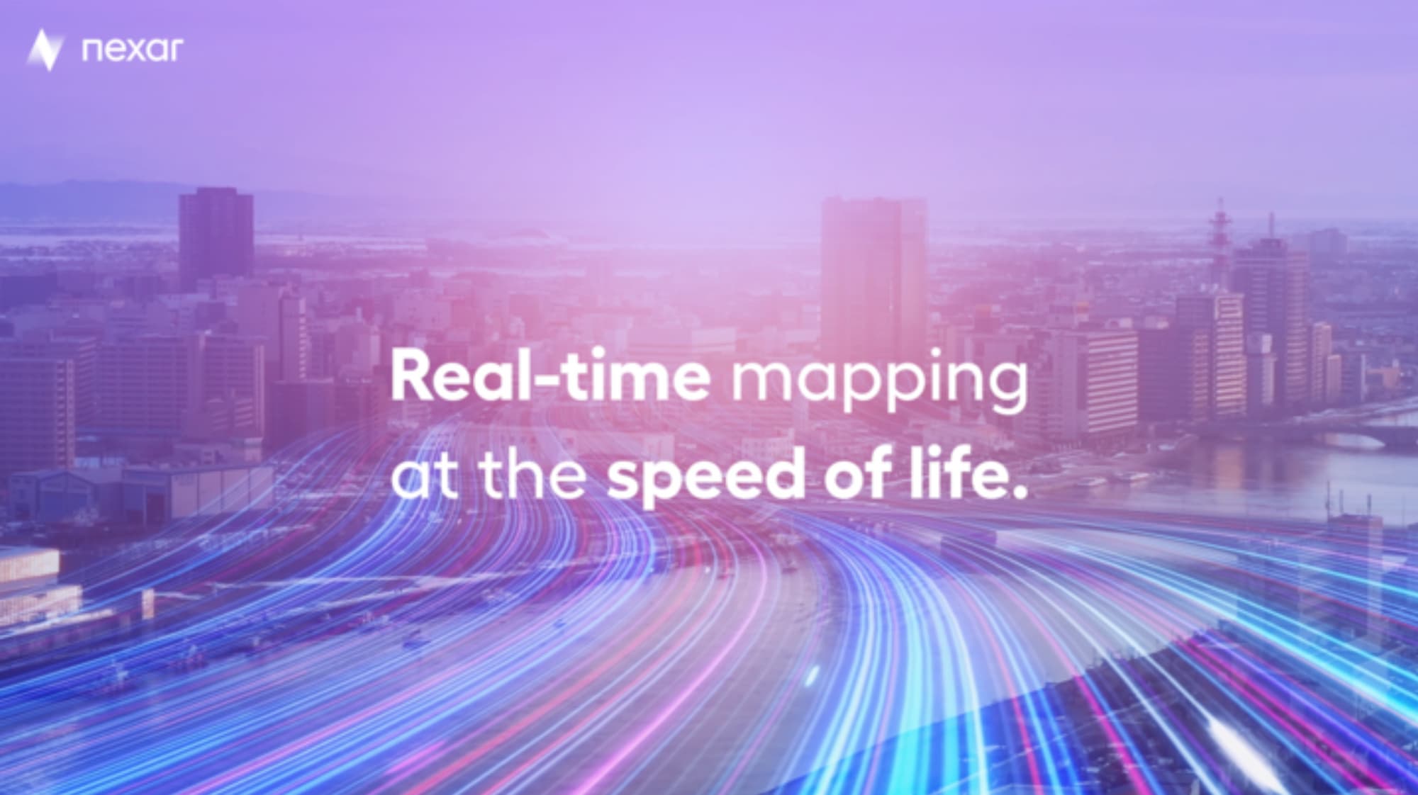
Humans are able to handle incomplete data and project from a two-dimensional representation to the actual real world. In the era in which we’re rapidly approaching, however, this is tremendously insufficient. Software systems are complex, and contrary to human beings, they require fresh and precise mapping information and a far greater amount of contextual data. Without it, they are unable to assist the driver reliably - let alone take over the steering wheel. This is where the accuracy, immediacy, and magic of real-time mapping come in, and why we’ve launched CityStream™ Live - an absolute first of its kind.
Vehicles need better maps
In today’s mapping reality, data is predominantly stale. To put this into perspective - some cars include maps that update only once a year, some every four or five years, and others never at all. The details are drastically outdated, but ironically, the need for fresh data is greater than ever before. As consumers now expect significantly more advanced driver assistance systems (ADAS), live navigation features, and location-based services, the solution appears clear - all vehicles require better maps. Only with real time data can vehicles really know what’s coming their way, react to varying speed limits, avoid work zones, find parking and someday drive themselves.
Road information on today’s maps is most often incomplete and data sources are fragmented - completely scattered over various silos from city halls to highway contractors and mapping service providers. This invites an avalanche of confusion and it becomes difficult - if not impossible - to obtain a complete data set depicting the ground truth necessary for vehicles and people.
Even with recent advancements in aerial imagery, intelligent speed assistance (ISA), real-time traffic information, existing standard definition (SD) maps, traffic maps, and even high definition (HD), maps fall short of providing high-frequency updates, high precision, and data freshness at a low cost.
When we delve deeper and explore this to a greater degree, it becomes unmistakable that we actually require more than just ‘maps’. Consider road signs that change from one day to another, work zones that block traffic for a few hours, parking spaces that become free this minute, or collisions that happen in a second. These examples of ‘real life’ happening in real time indicate that in order to become safer and more comfortable, ‘better maps’ just won’t cut it: vehicles need real-time mapping.
Why is the traditional mapping experience falling short?
The traditional mapping experience is unsatisfactory indeed. The main reason for this unfortunate state of affairs lies in the slow and expensive set of methods that incumbent map providers, such as Tomtom, HERE, or Google are still using to build their mapping products. What does this entail? A dedicated mapping fleet to survey the roads at high cost (and therefore infrequently), buying and merging data from different public and private sources, and paying for thousands of human workers to verify their data sets. With the available maps and user experience falling short of expectations, it’s no wonder consumers turn to their smartphones for real-time turn-by-turn navigation. But alas - even there, the delays and costs in collecting and processing large volumes of high-density data lead to incorrect and outdated map information.
While the human-centric maps of incumbent map providers will likely still serve us for a number of years, the software-centric maps that will save lives, support seamless mobility and delight customers can only come from real-time mapping. This radically new method to collect, process, and distribute road information in a fast and scalable way dawns on the horizon of a new, automation-centric era. The mapping revolution is here.
Re-introducing real-time mapping through CityStream™ Live
My team and I were proud to officially launch CityStream Live a few years ago. The platform boasts an extensive dashcam network of connected vehicles that provide trillions of images - creating the largest road vision data inventory! Using artificial intelligence, CityStream analyzes frames and gets you actionable data from the physical world enabling you to make better decisions. Our cutting edge, pioneering dashcams allow users to contribute anonymous images and videos of the world. Images and detections are accurately located, of course, for context and time-based change detection.
Fresh data, better decisions
The multitude of images received from the Nexar dashcam network are used to produce insights that help you make better decisions. The trillions of fresh, ground-level images collected, provide the ability to see road signs and construction zones in the correct location as well as see any changes to them, in context. Some examples include changes in signs, road furniture, and traffic that happen on a daily basis - affecting the safety of drivers and pedestrians. Nexar’s groundbreaking innovation enables cities and DoTs to improve safety on the road through a trusted visual record as well as AI detections.
Delivering modern apps and services for the autonomous era
With CityStream™ Live Road Work Zones, users can detect, monitor, and map all road work zones in a particular area of interest. With consumer convenience in mind, Nexar automatically detects barricade elements in work zones using Artificial Intelligence. To top it off, recent images of these barricade elements are then aggregated, localized, and mapped into CityStream Road Work Zones - so you can remotely manage them and be WZDx-ready!
Nexar also detects road inventory such as traffic signs and other furniture, localizes, and places it on a map - giving you an up-to-date understanding of inventory instead of an annual drive-through. Our priority is fresh, current, on-the-ground data. This is a world-first, never-been-done-before feature that allows you to access the underlying images to see for yourself. Our innovative technology also “sees” change, notifying you when road inventory changes. You are thus able to derive whether there is a safety or maintenance issue to be addressed, or identify damaged, missing, or affected road signs, remotely.
It has become abundantly obvious that fresh, real-time maps are essential for the next era of mobility & AVs. This will undoubtedly cap the slow-motion fall of the maps we’re accustomed to today. We at Nexar are proud to be the global leader in real-time mapping and believe that crowdsourced vision is in fact the only path to real-time mapping. Nexar has a five-year headstart in this arena - to date collecting and mapping more visual data than anyone else in the USA or Japan!
We’d love to share further information with you about this first-of-its-kind technology taking the world by storm. If you are interested in discovering more about real-time mapping with CityStream Live, download this whitepaper or see it for yourself at this link.