Introducing Live HD Mapping from Nexar
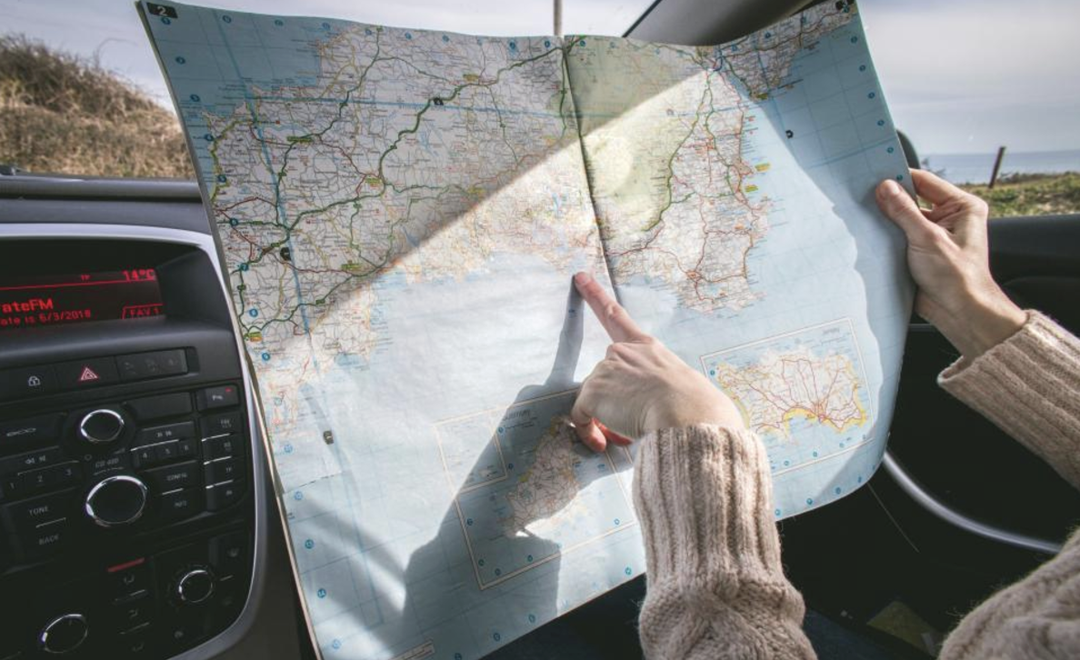
Do you remember the days when you drove on a trip with a spouse or a friend sitting next to you, nose-deep in a map book or a mapquest printout, trying to figure out where you were, stopping strangers on the road to ask for directions?
It's hard to believe that those days were just 20-25 years ago. Since then, we have witnessed three eras of mapping technology emerge, each revolutionizing our daily lifes in new and exciting ways. First, there were the early GPS devices, with static maps uploaded into them, pioneered by companies like TomTom. Then, about twenty years ago, the truly interactive map era began, led by Google Maps, soon followed by Waze, putting a constantly updated map in our pockets. These apps brought us real-time road, traffic, and hazard information, crowdsourced by their users every second of every day. In essence, our smartphones became the beacons that kept our maps current. We mapped the world together.

While this generation of maps revolutionized our lives, they came with limitations. The data they relied on was from our smartphone GPS systems, which typically have a precision of a few meters—good enough for us humans to find our way but not accurate enough for critical tasks involving machines. The emergence of new technologies like autonomous driving and advanced driver-assistance systems (ADAS) called for a level of precision that the digital maps of the smartphone era couldn't provide.
In response, the last decade saw the rise of HD mapping—high-definition maps, detailed to the centimeter, designed for less forgiving use cases such as road surveying, robotaxis, and ADAS. However, this increased accuracy comes with significant costs. Creating and maintaining HD maps relies on specialized survey vehicles equipped with LIDAR, stereo cameras, and other high-tech sensors, leading to expensive and time-consuming operations. This means HD maps are limited in both scale and freshness. Only a fraction of the world's roads are mapped in HD, and even these maps are updated only every few years—making them prone to becoming outdated quickly, which was problematic for safety-critical applications.
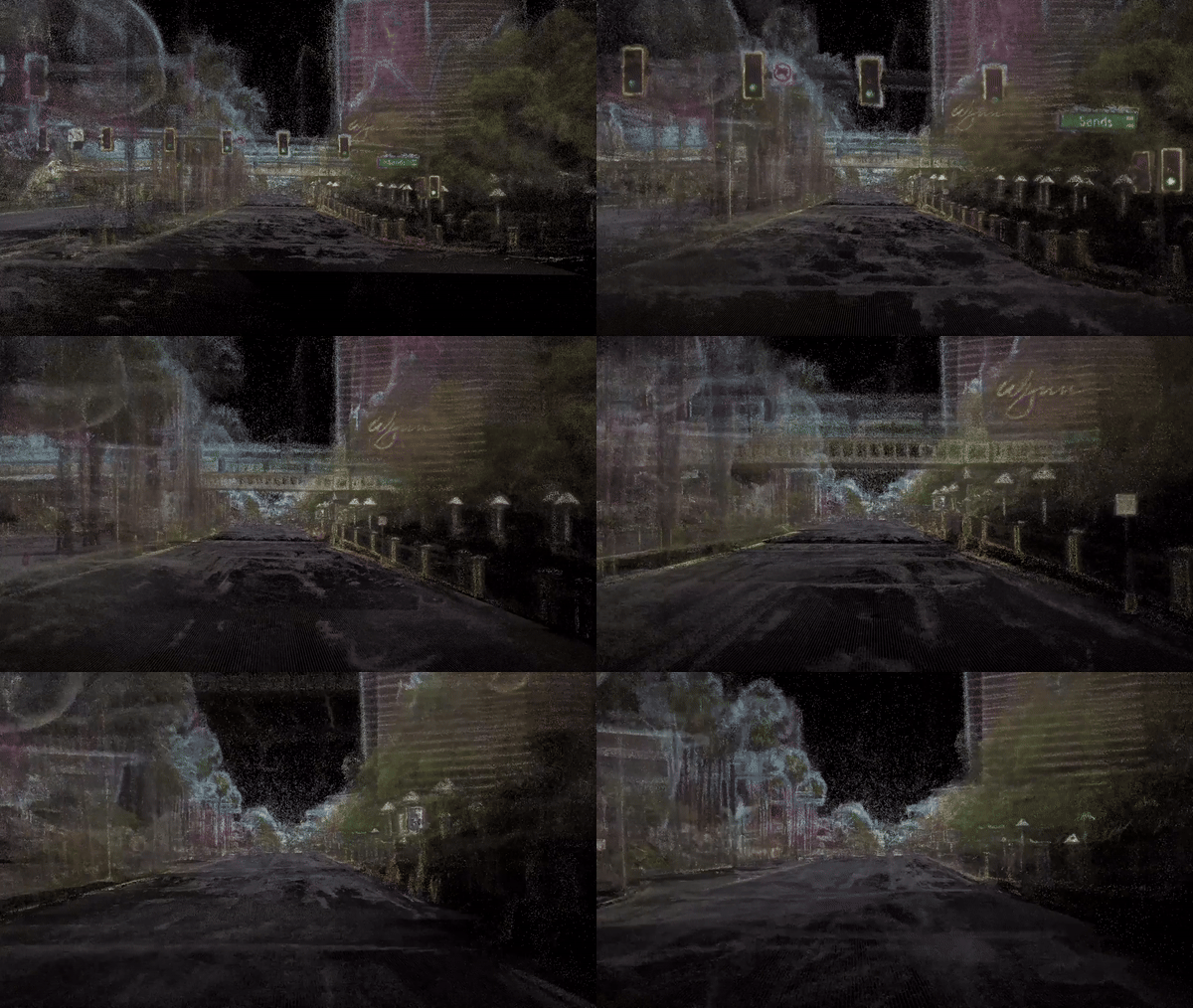
Today, we are launching a new era in mapping—the era of Live HD Mapping. After three years of relentless work, we've successfully combined the state-of-the-art in AI-driven physical modeling with our extensive Nexar network, which provides continuous visual data streaming from millions of AI-powered dash cams. The result is a highly precise, three-dimensional map of the world, updated in real time. We call it Live HD Mapping, and it brings together the best of both worlds—the precision of HD maps and the scalability of crowdsourcing. No longer do we have to choose between accuracy, coverage and cost. Live HD Mapping marks a new beginning: continuously updated, highly detailed maps for a world that’s always in motion, serving the next generation of road users, both human and machine.

With this launch we are taking the first step towards realizing this vision, introducing Nexar’s Live HD Mapping service, and providing interested parties for the first time with a cost effective ability to HD map their regions of interest and keep those maps fresh. We invite you to join our journey as we grow Nexar’s Live HD Map to cover the US and eventually, the world.

