Use the power of real time vision inside ArcGIS
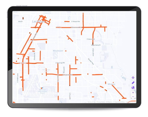
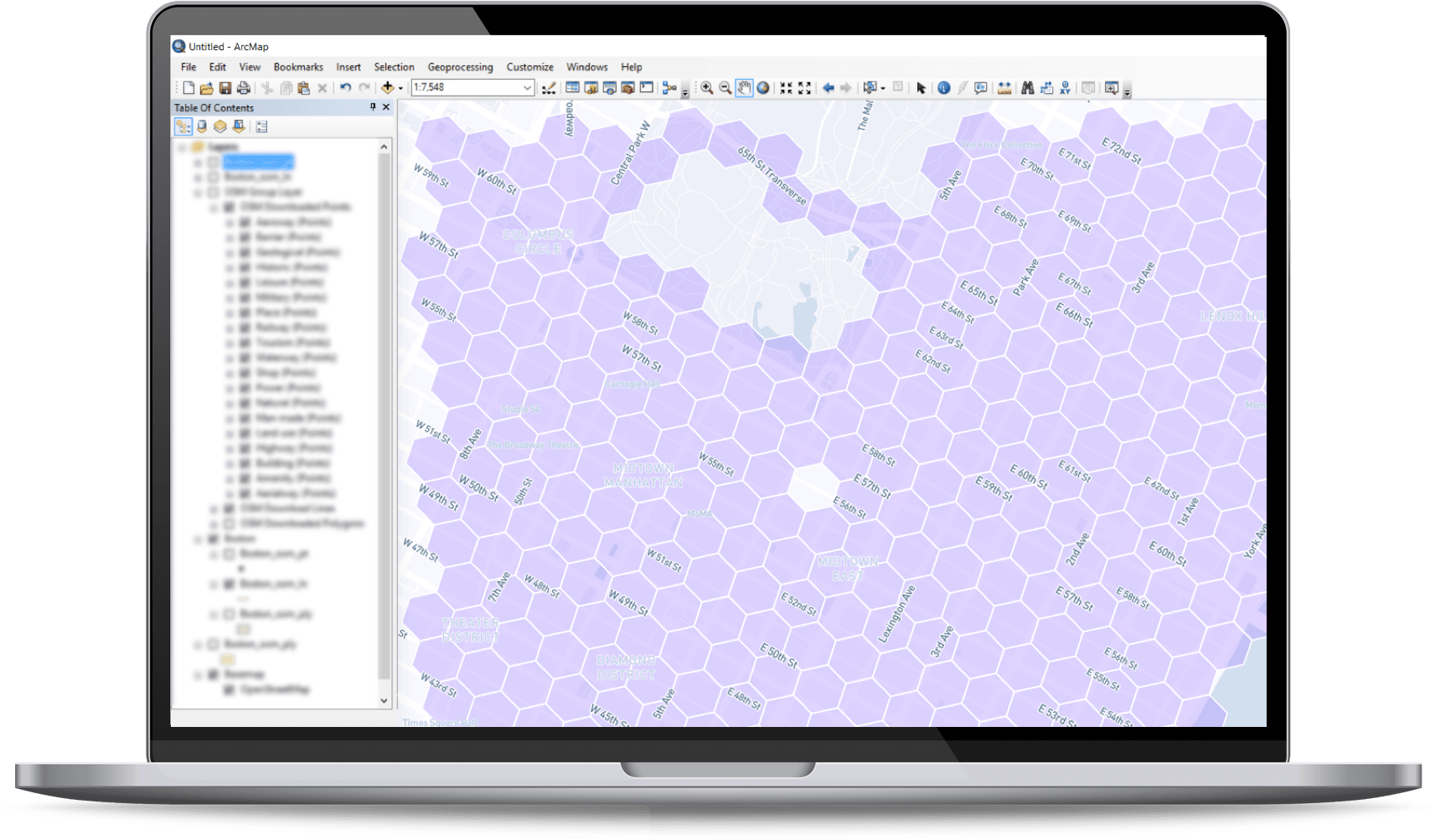
Access images, videos and AI detections instantly and easily within ArcGIS, Esri’s market leading platform. Nexar captures images and detects objects and change on a daily basis across all the US, and you can easily access those insights within Esri.
- Use Nexar imagery within your existing workflow of using Esri
- Seamless stream of Nexar data readily available within the platform
- Better context by overlaying Nexar data onto ArcGIS
- Improve outcomes for field inspections and decisions by accessing the most relevant data in advance and being able to see and understand change


