What is
Nexar Streets?
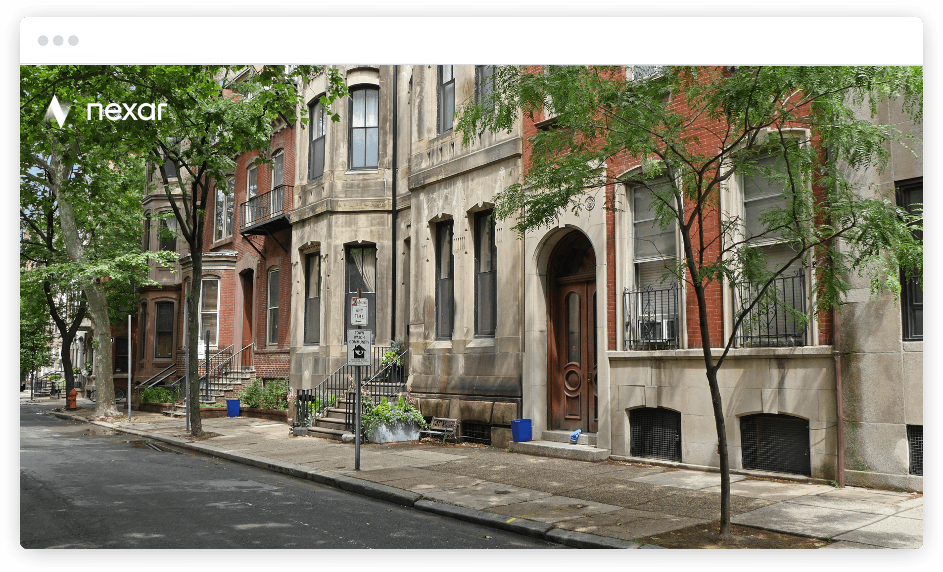
Nexar Streets is an image-based data product, consumable through an API. You can see recent, high quality images of relevant points of interest, monitor changes with regards to them or use AI‑based insights on top of the images.
All images are queryable by address, date/time & camera heading. You can see change over time, at any time of day.
AI is used to filter for best quality, or to detect relevant objects. You can also ask us about using computer vision to systematically flag property attributes (e.g. roof type), or to assess the state and condition of any property or find assets with certain attributes.
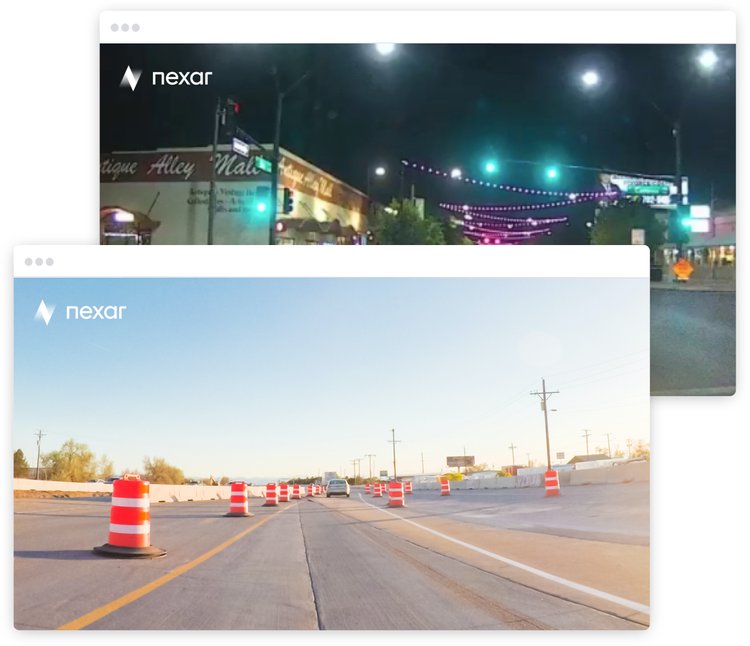
Inspect the world remotely and at scale, with no inspectors, assessor or photographer visits:
For insurance companies
- Underwrite at scale: no need to choose between costly and inefficient in-person visits or outdated imagery.
- Monitor Construction and/or Development - track the evolution of many disparate neighborhoods or areas to reassess opportunity and/or risk.
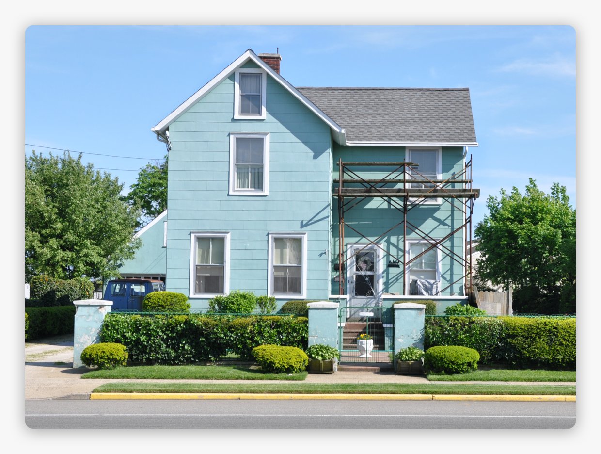
- Point-in-time Claims - see the evolution of a property over time i.e. before and after an “event”.
For real estate
- Acquire images at scale - don’t choose between costly and inefficient in-person visits or outdated or biased imagery. Reduce the “top of the funnel” with recent, neutral images.
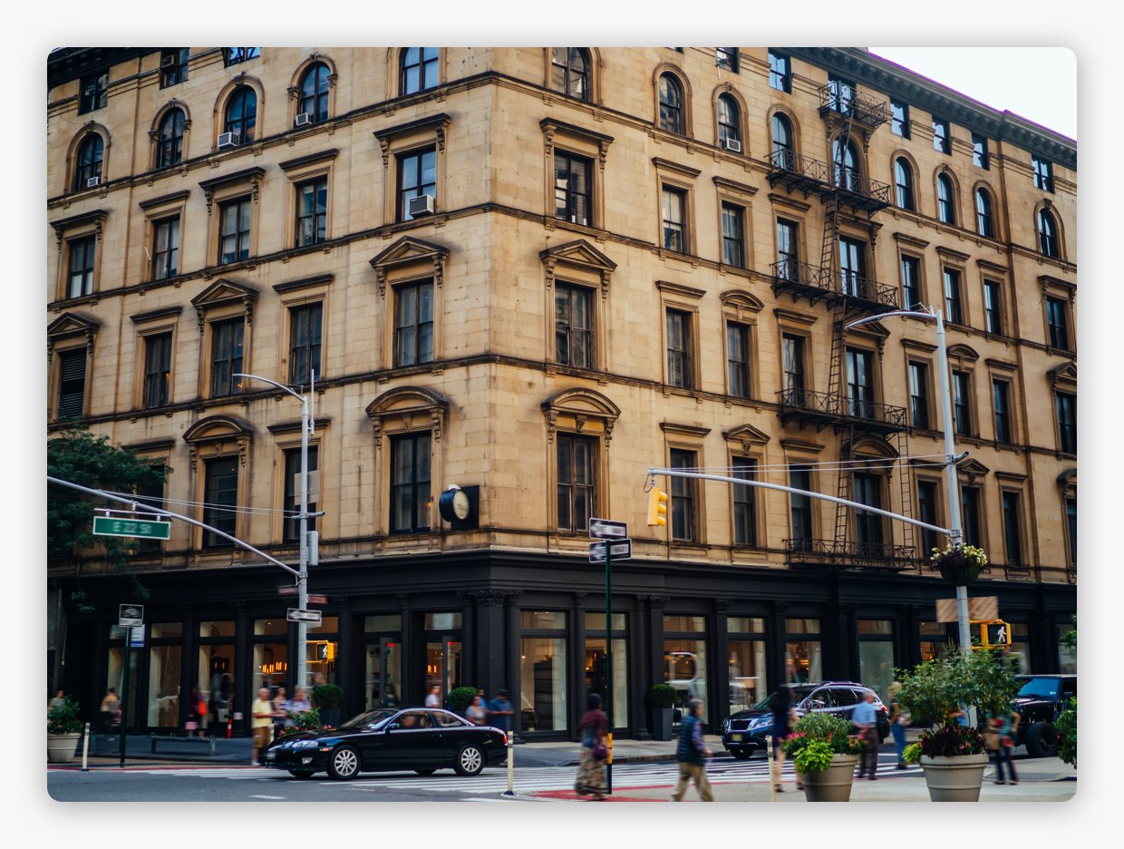
- Monitor Construction and/or Development - track the evolution of many disparate neighborhoods or areas to reassess opportunity and/or risk.
- Property Management - don’t rely on site visits during business hours
For investors
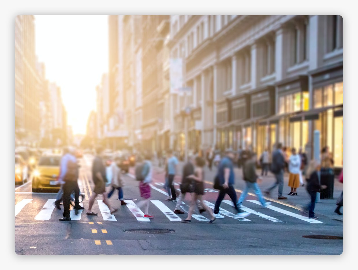
- See Point-in-Time Traffic - validate footfall, transaction & satellite data.
- (Macro) Risk Indicators - monitor quality of (or new investment in) infrastructure, economic activity, consumer behavior by geo, social distancing adherence, etc.
- Economic Shocks i.e. hurricanes, civil unrest etc
Alt Data uses
- Point-in-Time Traffic - validate footfall, transaction & satellite data.
- (Macro) Risk Indicators - monitor quality of (or new investment in) infrastructure, economic activity, consumer behavior by geo, social distancing adherence, etc.
- Economic Shocks i.e. hurricanes, civil unrest
- OOH Advertising
- CV Applications - Similarity Matching; Property Attributes; Degradation Signal; Renovation Signal

How does it work?
Dash cams
collect images
Nexar dash cam users anonymously contribute images from their drives
AI detects
CityStream road inventory
Nexar uses cutting edge Artificial Intelligence on the dash cams and app to detect road assets
Detections
on map
These detections are aggregated, localised and put on a map, making monitoring of changes easy


