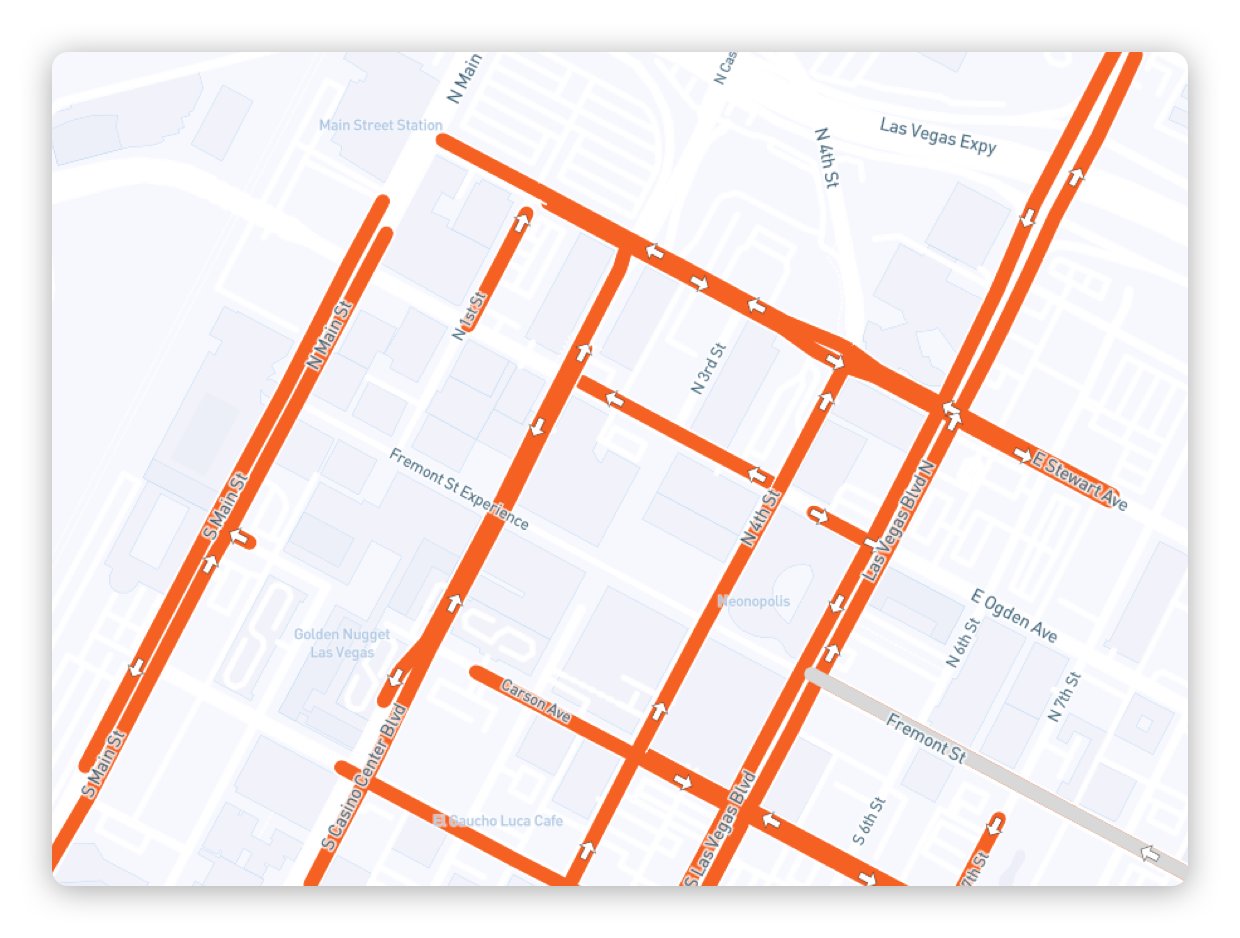
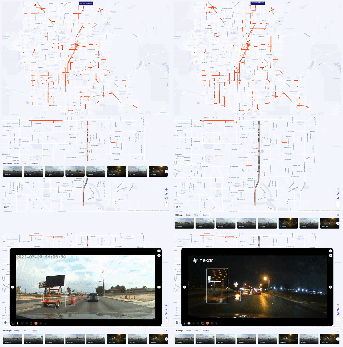
What is Road Work Zones?
Save precious resources on tracking construction and road blockages or encroachment. Get fresh, ground-level images of construction zones. Nexar aggregates, localizes and maps constantly-updated images. Remotely detect the appearance and removal of construction zones, lane blockages, and other work zone elements.
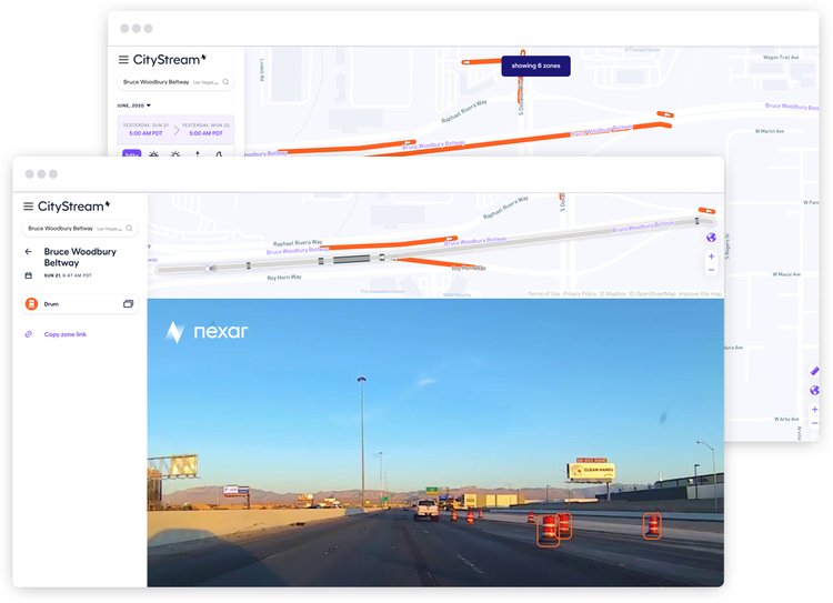
Save precious resources on tracking construction and road blockages or encroachment. Get fresh, ground-level images of construction zones. Nexar aggregates, localizes and maps constantly-updated images. Remotely detect the appearance and removal of construction zones, lane blockages, and other work zone elements.
Improve Work
Zone Safety
Detect & Enforce Permit Compliance

WZDX Ready
Improve your WZDx readiness and compliance with Nexar’s construction zones updates.
By getting access to fresh, up-to-date work zone imagery you can improve safety knowing the latest lane closures and construction zones updates.
Fresh Mapping Data
