one-pager
Every minute matters. Use point-of-interest and road images to perfect your operations
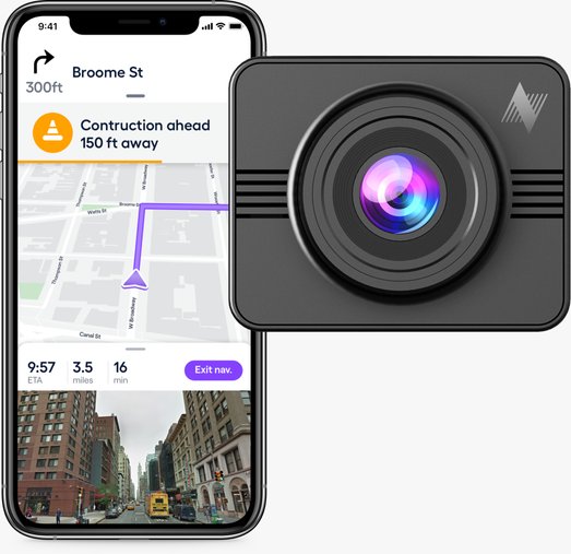
Your fleet will operate better when maps and location data are accurate and recent. Using Nexar, each and every one of your vehicles can easily collect important visual data using dash cams that will also make driving safer and better. Based on Nexar dash cams, or cameras you already have, the Nexar platform will provide the most up-to-date visual insight you need for better maps and routes.
Better Maps for
Better Navigation
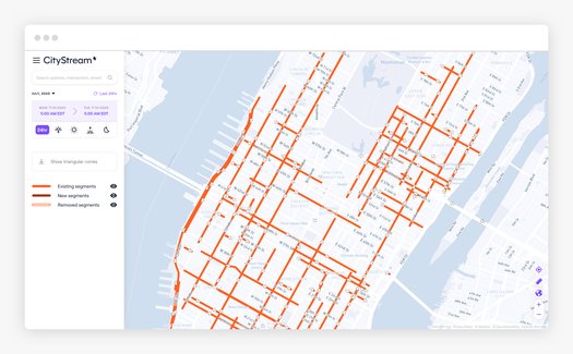
Logistics companies depend on having quality maps. Faulty routes and maps result in unnecessary driving, delayed or missing delivery windows and less efficiency. With Nexar, you can know where roads are built or closed, turn restrictions and speed limits added, and more. Fix maps and optimize routes and delivery windows. Using the visual imagery collected from your fleet and vision AI, you can update your base maps, use visual evidence of conditions, road sign and work zone detections, and conditions, review lane markings and even create new maps where there is little available data.
Pick-up and
drop-off
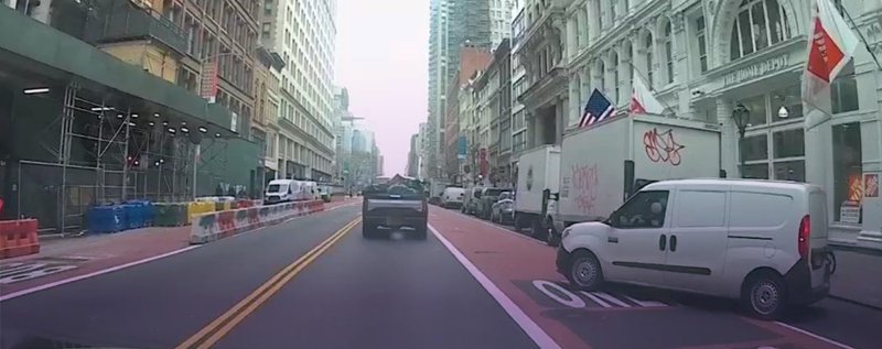
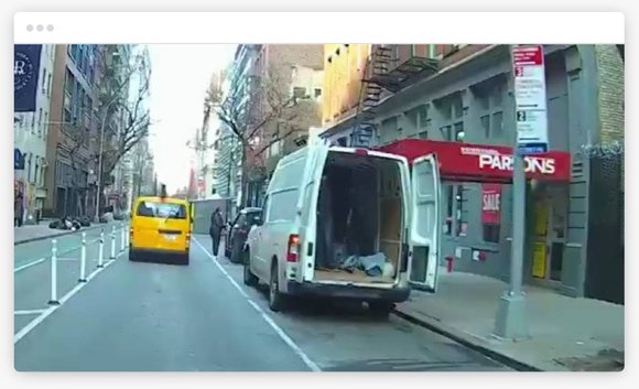
With Nexar Streets, you can get a visual overview of any point of interest that matters and how to access it, which means drivers won’t waste time over maps that aren’t detailed enough. In addition, images of the road will help you understand parking conditions and how they change throughout the day. This better understanding of the curbside will reduce the time required to find parking and fines associated with urban deliveries.
For Drivers
Ensure your drivers are happy and that you keep the record straight in case of safety incidents. Nexar is already used by many Uber / Lyft drivers in NYC and can detect up to 2x as many collisions as other dash cams.