Announcing AI-Powered Image Retrieval method for Better Localization in Cities
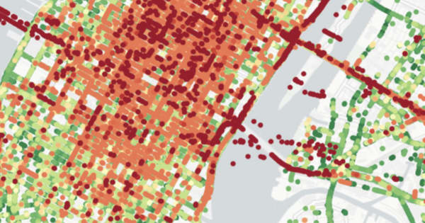
A comparison between the driver’s accurate location (green dots) and the raw GPS data (red) Today we are very excited to announce that Nexar has developed a new, AI-powered visual localization method that greatly improves GPS location accuracy in challenging urban environments. We’re presenting this new method today


