Parking and curb-space: can you map it in real-time?

What it takes to create a crowd-sourced identification of free, on-street, parking
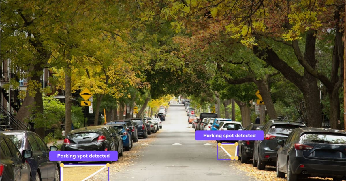
During February 2021 we used images collected from dash cams and AI to map on-street parking spots in Milan. We wanted to understand the city’s curb-side and prove the value of real-time, free-parking-spot detections for drivers and cities.
During the pilot, we wanted to answer many questions:
- How precise are free parking spot detections?
- How many spots can vision technology detect? How many with telemetry?
- What is the value of parking regulation data?
The report contains the answers — check it out, here.


