
Seeing Mcdonald’s Location Strategy With Our Own (dash cam) Eyes

We’re working on a product we call Nexar Streets. It lets you explore the world in real-time through the images captured by our dash cam network.
As part of testing it, we decided to look for a fairly ubiquitous component of the American Landscape: McDonald’s.
The US has 13,765 McDonald’s Locations. We bought a dataset of these locations so we could begin mapping Streets against it (we could also run detections of the store signs themselves, but that’s a different story). Of such locations, we checked 5,547 of them. On average, Nexar images were 19 months fresher than other available street view sources. That’s because our network consisting of dash cams offers great coverage.
With the data in hand, we looked at McDonald’s description of their preferred sites for locating a restaurant:
The ideal site today might include the following characteristics:
50,000+/- sq. ft.
Corner or corner wrap with signage on two major streets.
Signalized intersection.
Ability to build up to 4,000 sq. ft.
Parking to meet all applicable codes.
Ability to build to a minimum height of 23' 4".
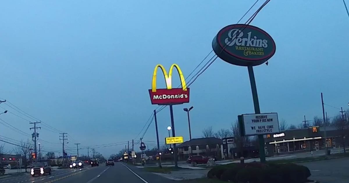
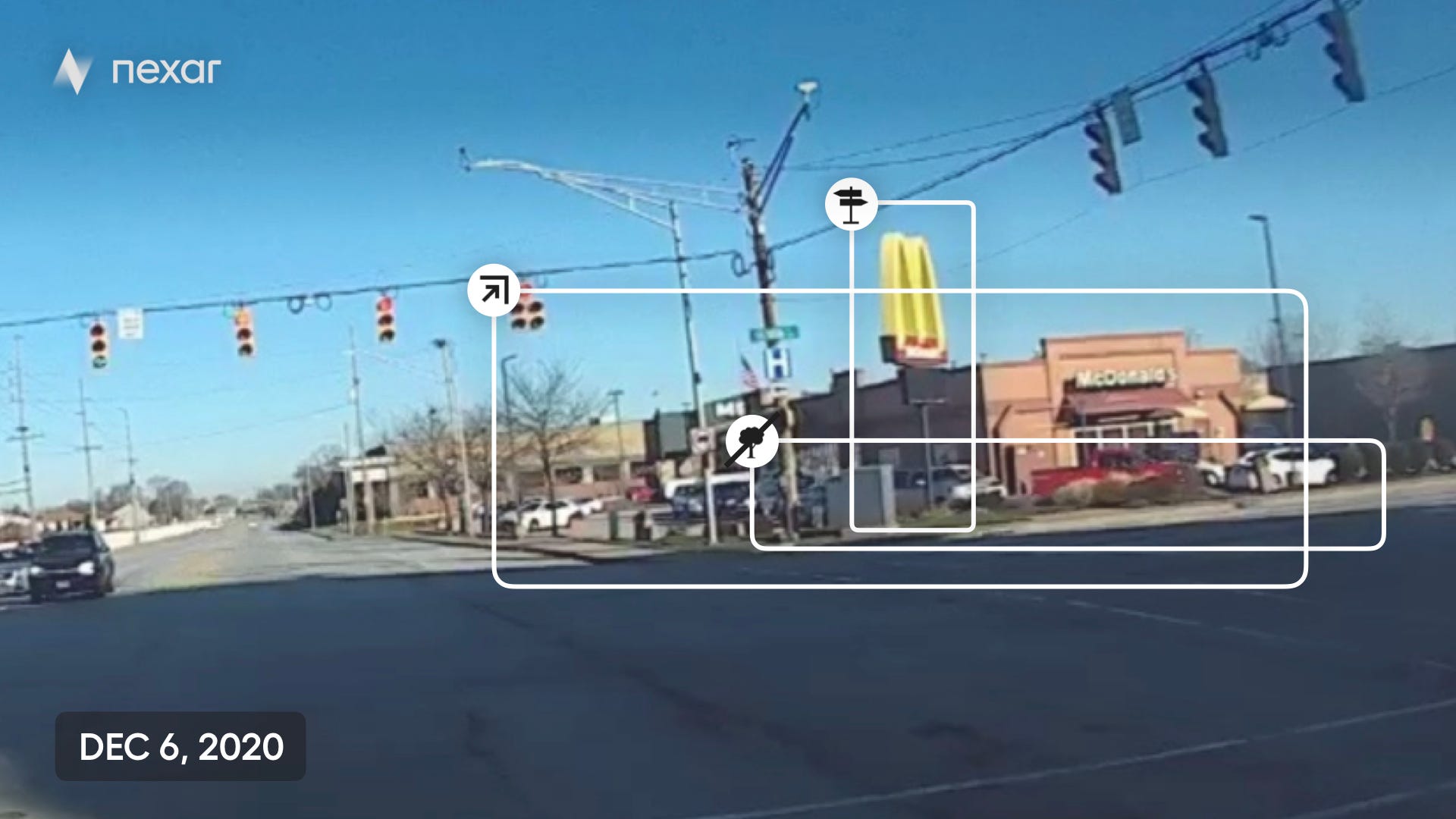
Indeed, our data corroborates this. The locations we “saw” are located on street corners, many of them on signalized intersections, the M sign is fairly high and visible from 2 streets away. One things that we saw and that’s not mentioned, is that no trees blocked the view of the restaurant.
Here are two examples:

And here’s a short video with some examples:
https://www.youtube.com/watch?v=vO_Qfht17HQ&feature=youtu.be
About Streets
Nexar Streets is an image-based data product, consumable through an API. You can see recent, high quality images of relevant points of interest, monitor changes with regards to them or use AI‑based insights on top of the images. All images are queryable by address, date/time & camera heading. You can see change over time, at any time of day. AI is used to filter for best quality, or to detect relevant objects. You can also ask us about using computer vision to systematically flag property attributes (e.g. roof type), or to assess the state and condition of any property or find assets with certain attributes.
Nexar Streets can be used by cities, real-estate investments, alt-data, mapping and additional use cases.
Contact us if you’d like to learn more about Streets.