Roni Floman

Roni Floman

13 posts published

Maps vs. Ground Truth in Phoenix, AZ: Ready for Autonomous Driving?

Maps vs. Ground Truth in Phoenix, AZ: Ready for Autonomous Driving?

Comparing Nexar's Phoenix, AZ ground truth data with both City of Phoenix and OpenStreetMap (OSM) limit data shows that maps become stale. This post details the findings of our analysis for Phoenix, AZ speed limit signs. You can also read why this means we need to think about

Announcing change detection for road signs

Announcing change detection for road signs

“Change is the only constant” - Heraclitus Nexar has always prided itself on its coverage, and the ability to provide a constant stream of fresh images from the road. With 130 million miles driven monthly [https://data.getnexar.com/blog/nexar-now-sees-130-million-road-miles-per-month-to-train-autonomous-vehicles-for-the-most-extreme/] (and growing), Nexar captures very recent images of roads

How fresh is OSM in terms of stop sign detections?

How fresh is OSM in terms of stop sign detections?

Is OSM data about stop signs fresh and conclusive, or does it require some additional work? We asked this question after reading ״How Lyft discovered OpenStreetMap is the Freshest Map for Rideshare [https://eng.lyft.com/how-lyft-discovered-openstreetmap-is-the-freshest-map-for-rideshare-a7a41bf92ec] ”, which covered OSM’s road class, directionality and lane metadata. We wanted to

Parking and curb-space: can you map it in real-time?

Parking and curb-space: can you map it in real-time?

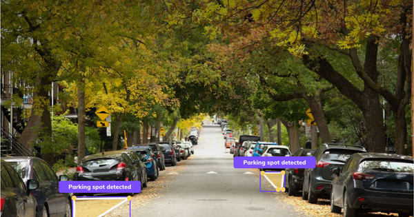
What it takes to create a crowd-sourced identification of free, on-street, parking During February 2021 we used images collected from dash cams and AI to map on-street parking spots in Milan. We wanted to understand the city’s curb-side and prove the value of real-time, free-parking-spot detections for drivers and

Imagining vision-based connected car camera applications

Imagining vision-based connected car camera applications

By 2024 most new car models will include several built-in cameras. Cameras are there for the cars to “see” — the road, cyclists, pedestrians, road signs and more. Most industry pundits focus on the use of car-sight as cars evolve to self-driving. Yet, even before, during and after self-driving becomes a

Do Cities Need Fresh Images For Better City/Road Management?

Do Cities Need Fresh Images For Better City/Road Management?

Can artificial intelligence do the job? When cities need to make decisions about managing assets, streets, permits, they need to be able to see what is actually going on. Some of this depends on actual human sight, such as looking at a road, assessing damage, or checking whether a work